Glaciological expedition on Djankuat glacier
About a glaciological expedition on Djankuat glacier (Central Caucasus, mt. Elbrus area)
May — June, 2002.
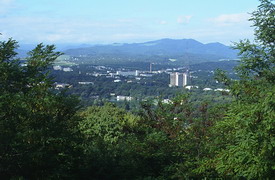
Nalchik — the capital of Kabardino-Balkaria
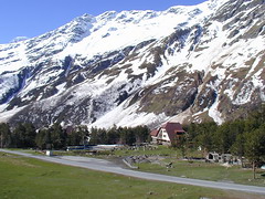
Facilities of the Glaciological station Azau
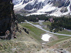
View from the mountainside on Azau station
An unusually large avalanche occured in the winter of 2002
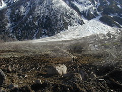
A huge avalanche cone
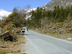
Trees fallen due to the avalanche
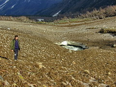
Baksan river covered by avalanche debris
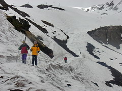
Skiing on the mount Elbrus slopes
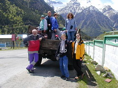
Just before departure to Djankuat glacier (in Elbrus village)
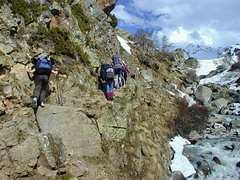
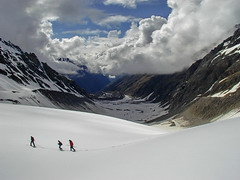
Difficult part of the trail to Djankuat glacier
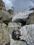
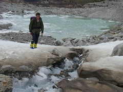
Snow bridge over Djankuat river
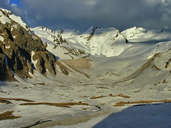
Djankuat glacier in spring
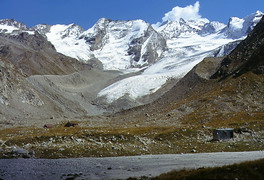
Djankuat glacier in autumn (photo of 2000)
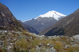
View from Bashkara glacier moraine to mt. Elbrus (photo of 2000)
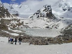
Bashkara lake. Djankuat glacier is on the left
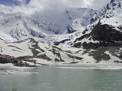
Bashkara lake and the upper parts of Bashkara glacier
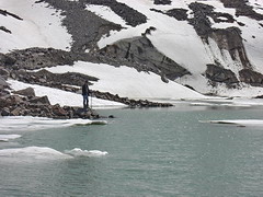
Bashkara lake — close view
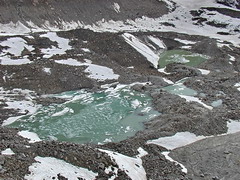
Newly formed nonamed lakes near the tongue of Bashkara glacier
Surface stream on Bashkara glacier
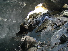
Inside of a glacial stream meander
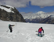
Snow cover measurements in the lower parts of the glacier
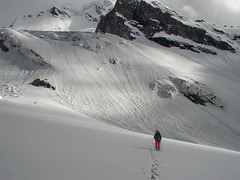
View from the lower parts of the glacier to mount Uyatau
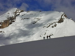
Traversing glacier to the next measurement point
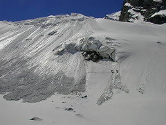
Snow cover measurements on an avalanche-prone slope
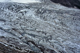
Crevasse area in the middle part of Djankuat glacier (photo of 2000)
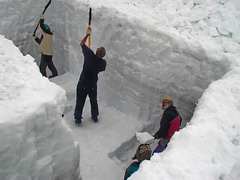
Digging the snow pit. The beginning
Digging the snow pit. The second day
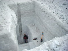
It took three days to finish digging the snow pit
© Zenya, 1995–2012. 